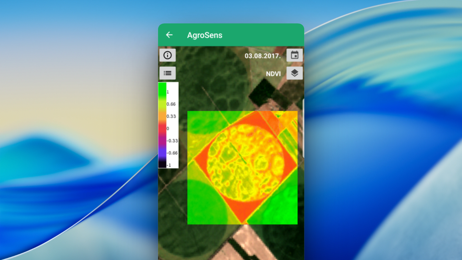
Task
To create a comprehensive platform that combines data from different sources to increase yields and reduce field treatment costs.
Project features
Connection to weather stations, humidity sensors and temperature sensors
Processing of satellite images and drone data
Algorithms for detecting disease outbreaks and plant stress conditions
Mobile alerts for agronomists
Historical analysis and forecasting of crop development
Work stages
Analytics
Monitoring processes at large and medium-sized agricultural enterprises were studied. Agronomists and plant protection specialists were surveyed. Key indicators and sensor types were identified.
Design
Dashboards were developed with visualization of field maps, temperature maps and charts of indicator dynamics. The interface is adapted for mobile devices.
Development and testing
Backend on Python (Flask), frontend — React. Libraries for processing satellite images and AI models for analyzing crop condition were used. Testing was carried out on two medium-sized farms.
Results
A 20% reduction in chemical treatment costs
A 10-15% increase in yield thanks to timely intervention
Simplified work for agronomists and fewer errors in decision-making
Client review
“AgroSense helps us see problems in the fields in time and take action. It is an indispensable assistant in modern agriculture.”